Details
Views:
595
Tags
Data Info
Author
DARK,MVRDV,A-LAB
City
Oslo
Country
Norway
Year
2016
Program
Business District
Technical Info
Site area
30000 sqm
Gfa
0
sqm
Density
0 far
Population density
0
inh/ha
Home Units:
0
Jobs
0
Streetsroad:
0
%
Buildup:
0
%
NonBuild-up:
0 %
Residential
0 %
Business
0
%
Commercial
0
%
Civic
0
%
Description
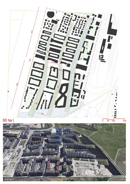
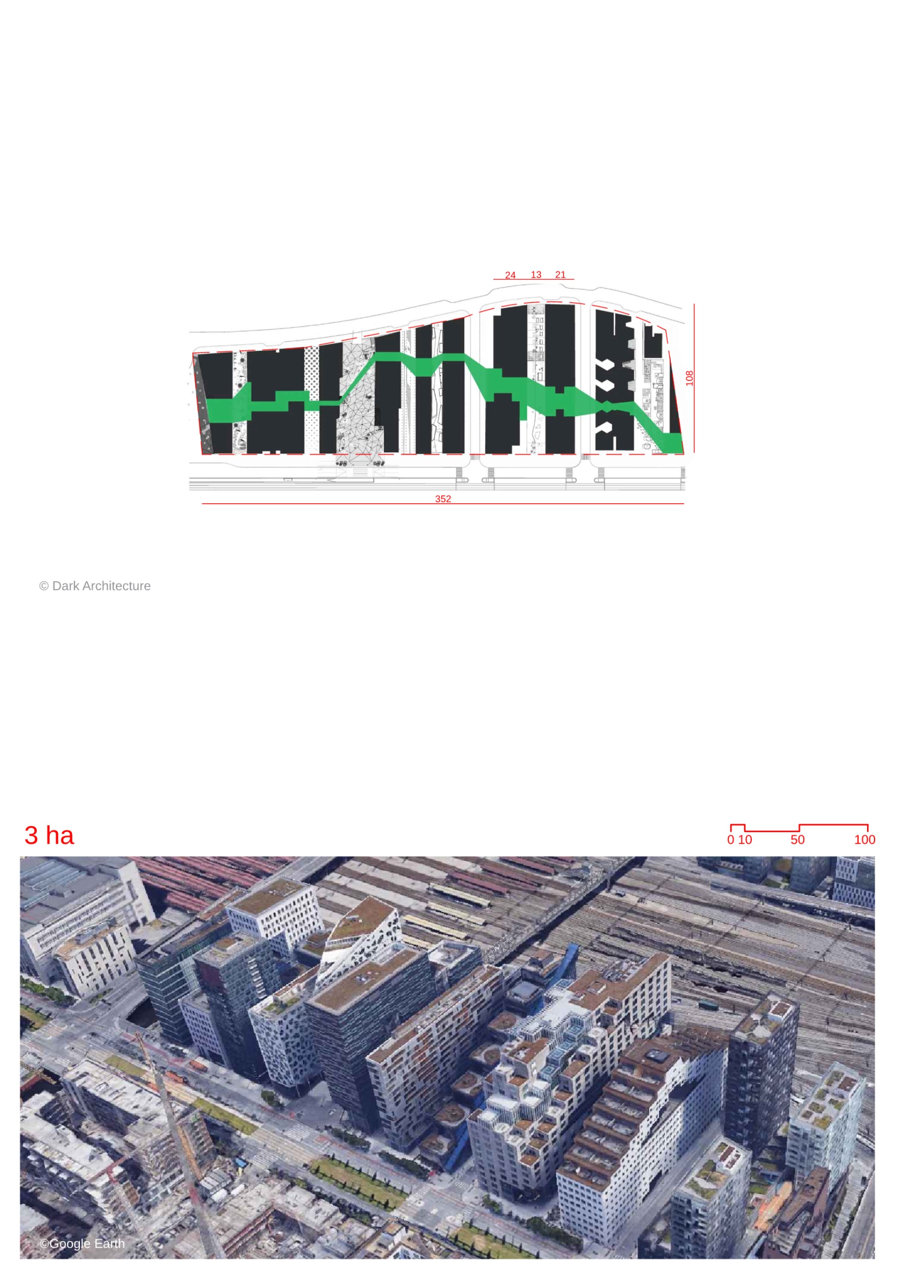
- The Barcode Project is uniquely positioned between the Oslo fjord and a major transport hub, maximizing connectivity and scenic views, while integrating urban life with the natural surroundings.
- The masterplan’s primary goals were to achieve urban and architectural diversity, ensure spatial flexibility, and create a pedestrian-friendly zone in central Oslo.
- The site is divided into narrow strips known as the Barcode, with each building featuring a façade facing both the fjord and the transport hub.
- The project provides maximum views and accommodates various programs including housing, offices, commercial spaces, and cultural activities.
- Each building in the Barcode has a unique identity and material expression, while still maintaining a cohesive relationship with neighboring structures in terms of shape and architecture.
- The urban rules of the project include variations in height and width for each building, as well as a requirement for minimum passage widths and 50% green outdoor spaces on horizontal surfaces.
- The masterplan ensures that all programs are present from the beginning of development to create a balanced and active environment.
- The Barcode comprises 11 buildings designed by different architecture firms, following the urban rules established in the masterplan.
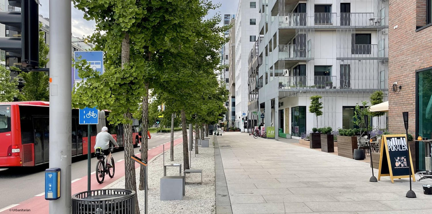
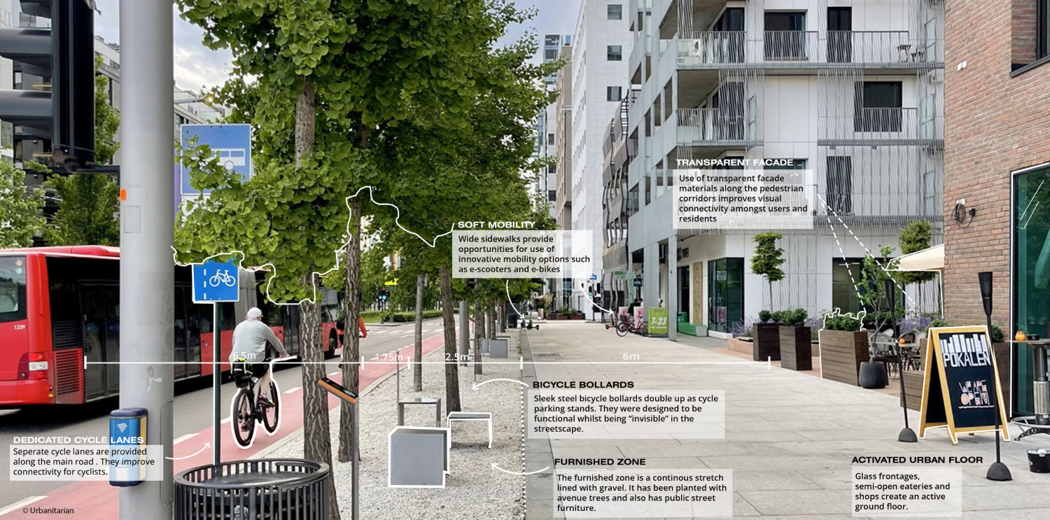
- The ground level of each building is designated for commercial and cultural facilities, enhancing street-level interaction and contributing to a vibrant atmosphere.
- The surrounding public spaces are accessible 24/7, creating a lively pedestrian zone that encourages social interaction and urban life.
- Underground parking and technical facilities, as well as a museum showcasing archaeological discoveries made during construction, are integrated into the project.
Site Location and Context
Urban Vision and Goals
Architectural Design and Identity
Balanced Development and Programs
Public Space and Accessibility
Location
Streetscapes
Explore the streetscapes related to this project
|
Urbanscapes
Explore the urbanscapes related to this project
|
Sources
Explore more Masterplans
|
